Technology
Tropical low off Mexico
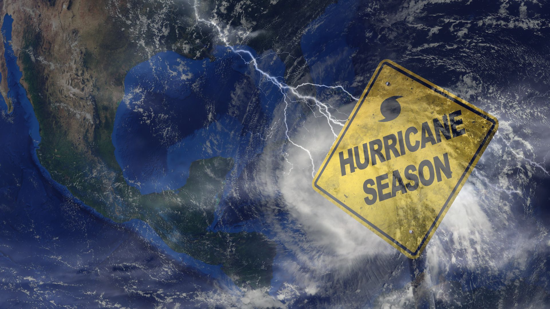
Tropical Low Forms off Mexico’s Pacific Coast, Poses Risk of Intensifying into Named Storm
Meteorologists are closely monitoring a newly formed tropical low pressure system off the southern Pacific coast of Mexico, raising early warnings of potential coastal impacts in the coming days. The system, currently located about 400 kilometers southwest of Acapulco, has shown signs of steady organization and could intensify into a tropical depression or tropical storm by mid week, according to the National Hurricane Center (NHC).
Designated as Invest 94E, the tropical disturbance is churning over warm ocean waters exceeding 29°C (84°F), which provide the energy necessary for cyclonic development. Satellite imagery from Tuesday morning shows growing convective activity and early signs of banding features, typically associated with strengthening tropical systems.
“Environmental conditions appear conducive for gradual development,” said Dr. Lina Méndez, a senior forecaster at the Mexican National Meteorological Service (SMN). “Low wind shear, warm sea surface temperatures, and ample mid level moisture could support intensification over the next 48 to 72 hours.”
As of now, the system is moving west northwest at around 15 km/h, keeping it offshore, but uncertainty remains regarding its future track. Some forecast models suggest the low could curve closer to the southwestern coast, potentially bringing heavy rainfall, rough surf, and gusty winds to coastal states like Guerrero, Oaxaca, and Michoacán by the weekend.
Local authorities have not yet issued official storm alerts but are urging residents and fishermen to remain attentive. “We are in constant coordination with federal agencies and maritime operations,” said Captain Alejandro Luna of the Guerrero Civil Protection Authority. “If this system shifts toward land, even as a depression, it could trigger flash flooding in vulnerable areas.”
The region is already saturated from earlier rains, making landslides and mudflows a heightened concern, particularly in mountainous inland communities. Emergency shelters in several municipalities are on standby, and local disaster preparedness drills have been initiated in anticipation of worsening conditions.
The broader context is the early activity of the 2025 Eastern Pacific hurricane season, which officially began on May 15. This year’s outlook, influenced by lingering El Niño conditions, predicts an above average number of tropical systems. The development of this low pressure area potentially the season’s second named storm fits within that pattern.
If the system strengthens into a tropical storm, it would be named Tropical Storm Aletta, the next name on the 2025 Pacific hurricane list. Though not expected to make landfall at this time, forecasters caution that storm paths can shift rapidly, especially during their early development phase.
International agencies, including NOAA and Mexico’s Navy Meteorological Service, continue to issue regular advisories and satellite updates, while local radio and emergency channels are broadcasting preparedness tips for coastal and highland residents.
As the tropical low continues to gather strength over the Pacific, it serves as an urgent reminder that hurricane season has begun in earnest. With sea surface temperatures unusually warm for July and atmospheric instability increasing, coastal communities across Mexico’s western seaboard are being urged to remain vigilant, stocked, and ready for rapid changes in weather conditions.